Road beyond the White House
Introduction
The photograph on this page of Road beyond the White House by Christine Johnstone as part of the Geograph project.
The Geograph project started in 2005 with the aim of publishing, organising and preserving representative images for every square kilometre of Great Britain, Ireland and the Isle of Man.

There are currently over 7.5m images from over 14,400 individuals and you can help contribute to the project by visiting https://www.geograph.org.uk
Road beyond the White House
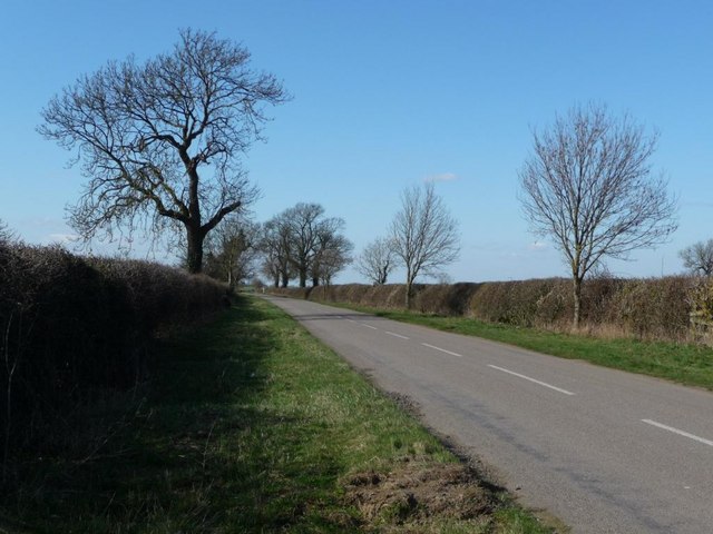
Image: © Christine Johnstone Taken: 18 Mar 2011
This road lost most of its purpose when its middle section was obliterated by RAF Cottesmore.
Images are licensed for reuse under creativecommons.org/licenses/by-sa/2.0
Image Location


Leaflet Map data © OpenStreetMap
Latitude
52.726622
Longitude
-0.622868