Overgrown drainage ditch at Veridion Park, Thamesmead
Introduction
The photograph on this page of Overgrown drainage ditch at Veridion Park, Thamesmead by Marathon as part of the Geograph project.
The Geograph project started in 2005 with the aim of publishing, organising and preserving representative images for every square kilometre of Great Britain, Ireland and the Isle of Man.

There are currently over 7.5m images from over 14,400 individuals and you can help contribute to the project by visiting https://www.geograph.org.uk
Overgrown drainage ditch at Veridion Park, Thamesmead
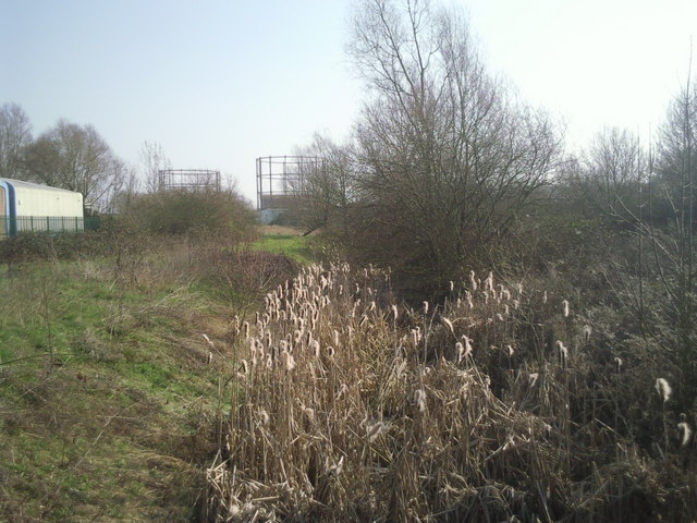
Image: © Marathon Taken: 8 Mar 2011
Because Thamesmead is built on former marshland, drainage dykes are still to be seen throughout the development. Some have been landscaped, others have just been left as can be seen here. This rather overgrown example is viewed from Waldrist Way on the Veridion Park Industrial Estate. Belvedere station is just beyond the gasholders in the distance.
Images are licensed for reuse under creativecommons.org/licenses/by-sa/2.0
Image Location
Latitude
51.49512
Longitude
0.142991