A472 NE from Heol Fawr, Nelson
Introduction
The photograph on this page of A472 NE from Heol Fawr, Nelson by Jaggery as part of the Geograph project.
The Geograph project started in 2005 with the aim of publishing, organising and preserving representative images for every square kilometre of Great Britain, Ireland and the Isle of Man.

There are currently over 7.5m images from over 14,400 individuals and you can help contribute to the project by visiting https://www.geograph.org.uk
A472 NE from Heol Fawr, Nelson
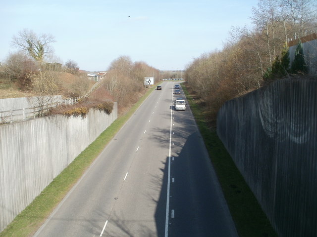
Image: © Jaggery Taken: 17 Mar 2011
View from Heol Fawr bridge. The sign indicates ahead at the roundabout for Ystrad Mynach, left for Nelson.
Images are licensed for reuse under creativecommons.org/licenses/by-sa/2.0
Image Location
Latitude
51.649534
Longitude
-3.277666