Bridleway to Seend Cleeve
Introduction
The photograph on this page of Bridleway to Seend Cleeve by Doug Lee as part of the Geograph project.
The Geograph project started in 2005 with the aim of publishing, organising and preserving representative images for every square kilometre of Great Britain, Ireland and the Isle of Man.

There are currently over 7.5m images from over 14,400 individuals and you can help contribute to the project by visiting https://www.geograph.org.uk
Bridleway to Seend Cleeve
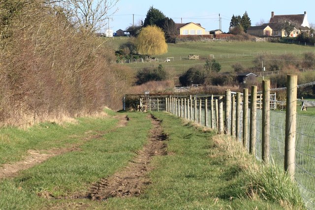
Image: © Doug Lee Taken: 20 Mar 2011
This well travelled bridleway connects Seend Cleeve with the Kennet and Avon Canal then on to Bowerhill. Other than occasional farm traffic the bridleway is popular with walkers either out for a short stroll or walking the dog.
Images are licensed for reuse under creativecommons.org/licenses/by-sa/2.0
Image Location
Latitude
51.344708
Longitude
-2.103037