Village centre, Bohetherick
Introduction
The photograph on this page of Village centre, Bohetherick by Hugh Craddock as part of the Geograph project.
The Geograph project started in 2005 with the aim of publishing, organising and preserving representative images for every square kilometre of Great Britain, Ireland and the Isle of Man.

There are currently over 7.5m images from over 14,400 individuals and you can help contribute to the project by visiting https://www.geograph.org.uk
Village centre, Bohetherick
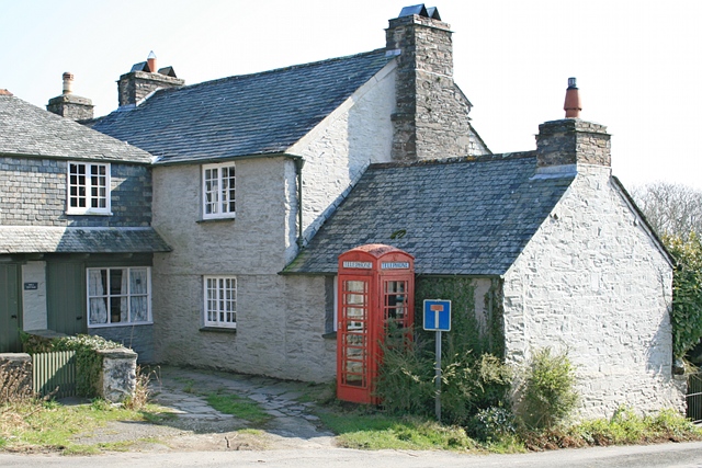
Image: © Hugh Craddock Taken: 5 Mar 2011
The telephone kiosk marks the centre of the village, neatly located in the courtyard of Well Cottage (a National Trust holiday home), and backing on to Martins Cottage. To the right is the minor no through road to Woodland Farm.
Images are licensed for reuse under creativecommons.org/licenses/by-sa/2.0
Image Location
Latitude
50.485081
Longitude
-4.231909