Road to Haye
Introduction
The photograph on this page of Road to Haye by Hugh Craddock as part of the Geograph project.
The Geograph project started in 2005 with the aim of publishing, organising and preserving representative images for every square kilometre of Great Britain, Ireland and the Isle of Man.

There are currently over 7.5m images from over 14,400 individuals and you can help contribute to the project by visiting https://www.geograph.org.uk
Road to Haye
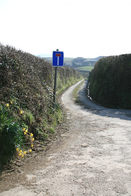
Image: © Hugh Craddock Taken: 5 Mar 2011
The turning from the Fursdon to Bohetherick road to Haye is a public road for the first 100m (hence the prescribed no-through road sign).
Images are licensed for reuse under creativecommons.org/licenses/by-sa/2.0
Image Location
Latitude
50.48189
Longitude
-4.234155