The North Downs Way crosses North Military Road
Introduction
The photograph on this page of The North Downs Way crosses North Military Road by David Anstiss as part of the Geograph project.
The Geograph project started in 2005 with the aim of publishing, organising and preserving representative images for every square kilometre of Great Britain, Ireland and the Isle of Man.

There are currently over 7.5m images from over 14,400 individuals and you can help contribute to the project by visiting https://www.geograph.org.uk
The North Downs Way crosses North Military Road
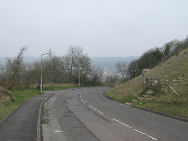
Image: © David Anstiss Taken: 20 Mar 2011
The long distance path and Saxon Shore Way (another path) crosses the road, then leads around Drop Redoubt Fort towards central Dover. Another footpath leads left through Western Heights, a local nature reserve.
Images are licensed for reuse under creativecommons.org/licenses/by-sa/2.0
Image Location
Latitude
51.121823
Longitude
1.304302