Track in Western Heights
Introduction
The photograph on this page of Track in Western Heights by David Anstiss as part of the Geograph project.
The Geograph project started in 2005 with the aim of publishing, organising and preserving representative images for every square kilometre of Great Britain, Ireland and the Isle of Man.

There are currently over 7.5m images from over 14,400 individuals and you can help contribute to the project by visiting https://www.geograph.org.uk
Track in Western Heights
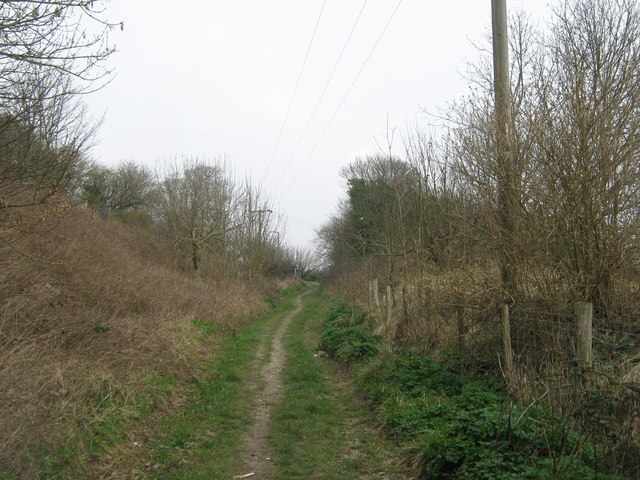
Image: © David Anstiss Taken: 20 Mar 2011
The North Downs Way and Saxon Shore Way (long distance paths) leads from King's Ropewalk in Aycliff, through a local nature reserve on the hills between Aycliff and Maxton, towards South Military Road.
Images are licensed for reuse under creativecommons.org/licenses/by-sa/2.0
Image Location
Latitude
51.117117
Longitude
1.302108