Footpath on Western Heights
Introduction
The photograph on this page of Footpath on Western Heights by David Anstiss as part of the Geograph project.
The Geograph project started in 2005 with the aim of publishing, organising and preserving representative images for every square kilometre of Great Britain, Ireland and the Isle of Man.

There are currently over 7.5m images from over 14,400 individuals and you can help contribute to the project by visiting https://www.geograph.org.uk
Footpath on Western Heights
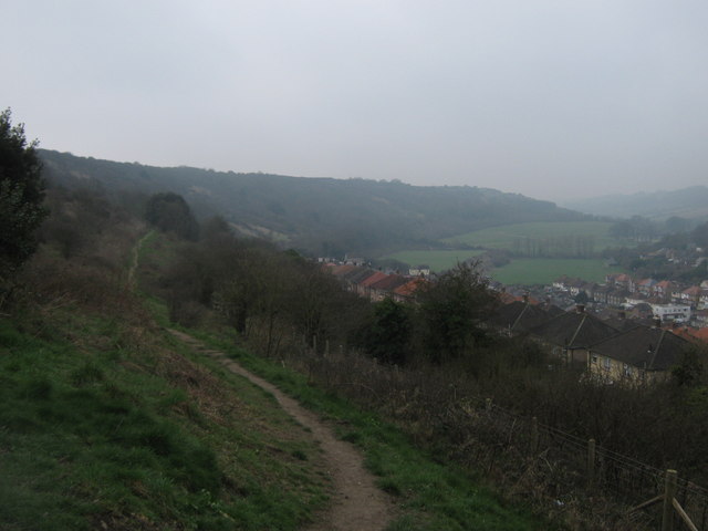
Image: © David Anstiss Taken: 20 Mar 2011
This path leads through the local nature reserve on the hills between Maxton (on the right) and Aycliff. In the background, are the bright green recreational grounds of Farthingloe.
Images are licensed for reuse under creativecommons.org/licenses/by-sa/2.0
Image Location
Latitude
51.118562
Longitude
1.29235