The lane to Hanna's Close clachan
Introduction
The photograph on this page of The lane to Hanna's Close clachan by Eric Jones as part of the Geograph project.
The Geograph project started in 2005 with the aim of publishing, organising and preserving representative images for every square kilometre of Great Britain, Ireland and the Isle of Man.

There are currently over 7.5m images from over 14,400 individuals and you can help contribute to the project by visiting https://www.geograph.org.uk
The lane to Hanna's Close clachan
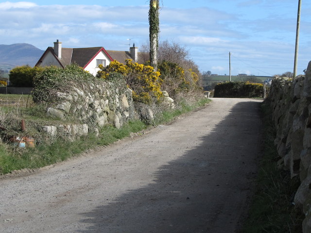
Image: © Eric Jones Taken: 19 Mar 2011
This lane which serves the clachan also continues northwards to the Ballinran Road. It is one of a handful of such narrow lanes officially designated for walkers in the Mourne area. Public footpaths as they exist in England and Wales are absent from most of Ireland and even those which exist are not generally way marked.
Images are licensed for reuse under creativecommons.org/licenses/by-sa/2.0
Image Location
Latitude
54.080443
Longitude
-5.996693