Houses at Oxton Rakes
Introduction
The photograph on this page of Houses at Oxton Rakes by Andrew Hill as part of the Geograph project.
The Geograph project started in 2005 with the aim of publishing, organising and preserving representative images for every square kilometre of Great Britain, Ireland and the Isle of Man.

There are currently over 7.5m images from over 14,400 individuals and you can help contribute to the project by visiting https://www.geograph.org.uk
Houses at Oxton Rakes
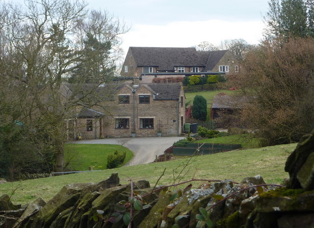
Image: © Andrew Hill Taken: 19 Mar 2011
A hamlet tucked in a little valley north of the B6050.
Images are licensed for reuse under creativecommons.org/licenses/by-sa/2.0
Image Location
Latitude
53.261105
Longitude
-1.512752