Burraton from the south
Introduction
The photograph on this page of Burraton from the south by Hugh Craddock as part of the Geograph project.
The Geograph project started in 2005 with the aim of publishing, organising and preserving representative images for every square kilometre of Great Britain, Ireland and the Isle of Man.

There are currently over 7.5m images from over 14,400 individuals and you can help contribute to the project by visiting https://www.geograph.org.uk
Burraton from the south
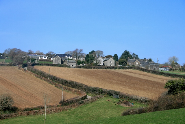
Image: © Hugh Craddock Taken: 5 Mar 2011
Burraton village seen from St Dominick public footpath 625/7/1 from Quarry Farm to Fursdon.
Images are licensed for reuse under creativecommons.org/licenses/by-sa/2.0
Image Location
Latitude
50.483015
Longitude
-4.241115