Wonford Home Zone
Introduction
The photograph on this page of Wonford Home Zone by David Smith as part of the Geograph project.
The Geograph project started in 2005 with the aim of publishing, organising and preserving representative images for every square kilometre of Great Britain, Ireland and the Isle of Man.

There are currently over 7.5m images from over 14,400 individuals and you can help contribute to the project by visiting https://www.geograph.org.uk
Wonford Home Zone
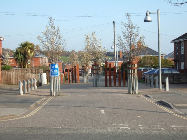
Image: © David Smith Taken: 20 Mar 2011
Traffic calming to make the residential road more friendly for children, elderly people and everybody
Images are licensed for reuse under creativecommons.org/licenses/by-sa/2.0
Image Location
Latitude
50.710617
Longitude
-3.505068