Elmore Road
Introduction
The photograph on this page of Elmore Road by Simon Carey as part of the Geograph project.
The Geograph project started in 2005 with the aim of publishing, organising and preserving representative images for every square kilometre of Great Britain, Ireland and the Isle of Man.

There are currently over 7.5m images from over 14,400 individuals and you can help contribute to the project by visiting https://www.geograph.org.uk
Elmore Road
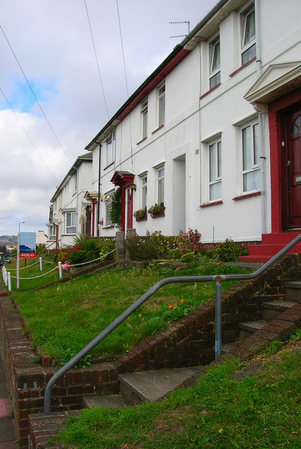
Image: © Simon Carey Taken: 1 Sep 2006
Opposite the entrance to the recreation ground is the junction of Sussex Street and Elmore Road. This road and the one parallel in Tarner Road were developed on vacant land owned by the Tarner estate from 1931. Click on the link to take you to the next page. http://www.geograph.org.uk/photo/231695
Images are licensed for reuse under creativecommons.org/licenses/by-sa/2.0
Image Location
Latitude
50.82507
Longitude
-0.131497