Queen St, Barry
Introduction
The photograph on this page of Queen St, Barry by John Lord as part of the Geograph project.
The Geograph project started in 2005 with the aim of publishing, organising and preserving representative images for every square kilometre of Great Britain, Ireland and the Isle of Man.

There are currently over 7.5m images from over 14,400 individuals and you can help contribute to the project by visiting https://www.geograph.org.uk
Queen St, Barry
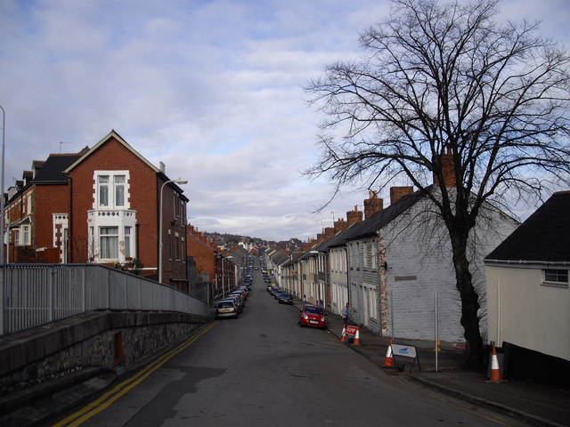
Image: © John Lord Taken: 20 Mar 2011
The street name sign on the gable end of the house on the right, which should read "Market St", has been removed. Street name signs in nearby High St have been painted over. (See Image and Image). It seems reminiscent of wartime attempts to confuse any invading troops.
Images are licensed for reuse under creativecommons.org/licenses/by-sa/2.0
Image Location
Latitude
51.39967
Longitude
-3.283915