Approaching the junction of Mill Street and Aughnahoory Road
Introduction
The photograph on this page of Approaching the junction of Mill Street and Aughnahoory Road by Eric Jones as part of the Geograph project.
The Geograph project started in 2005 with the aim of publishing, organising and preserving representative images for every square kilometre of Great Britain, Ireland and the Isle of Man.

There are currently over 7.5m images from over 14,400 individuals and you can help contribute to the project by visiting https://www.geograph.org.uk
Approaching the junction of Mill Street and Aughnahoory Road
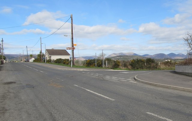
Image: © Eric Jones Taken: 19 Mar 2011
Aughnahoory Road leads out of the town and follows the Kilkeel River northwards towards the Mournes, which can be seen in the background.
Images are licensed for reuse under creativecommons.org/licenses/by-sa/2.0
Image Location
Latitude
54.06796
Longitude
-6.002488