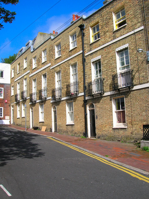
Tilbury Place
Introduction
The photograph on this page of Tilbury Place by Simon Carey as part of the Geograph project.
The Geograph project started in 2005 with the aim of publishing, organising and preserving representative images for every square kilometre of Great Britain, Ireland and the Isle of Man.
There are currently over 7.5m images from over 14,400 individuals and you can help contribute to the project by visiting https://www.geograph.org.uk

Image: © Simon Carey Taken: 1 Sep 2006
Head south down John Street then east up Carlton Hill and north into Tilbury Place.Number 1 was developed as St Johns Lodge in 1810 and the rest of the row followed in 1812 and initially called Patriot Place but renamed Tilbury in 1862 after Edwin Tarner's wife's maiden name. The northern end is closed off by Prior House constructed in 1936 and just visible and the western side provides the entrance to Carlton Hill Primary School. The row was given to Brighton Corporation in 1933 and number 1 became known as Tarner House. Click on the link to take you to the next page. http://www.geograph.org.uk/photo/231643
Image Location


