Matterley Drove
Introduction
The photograph on this page of Matterley Drove by Mike Faherty as part of the Geograph project.
The Geograph project started in 2005 with the aim of publishing, organising and preserving representative images for every square kilometre of Great Britain, Ireland and the Isle of Man.

There are currently over 7.5m images from over 14,400 individuals and you can help contribute to the project by visiting https://www.geograph.org.uk
Matterley Drove
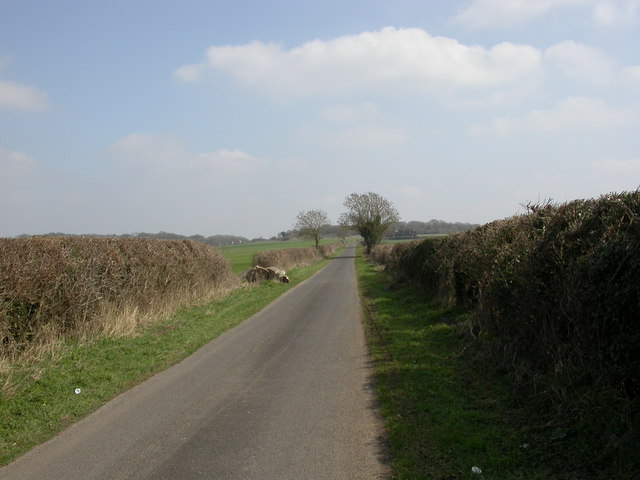
Image: © Mike Faherty Taken: 20 Mar 2011
Unclassified road from B3078 to Woodlands. Note the hefty log to left, presumably to prevent encampments.
Images are licensed for reuse under creativecommons.org/licenses/by-sa/2.0
Image Location


Leaflet Map data © OpenStreetMap
Latitude
50.882738
Longitude
-1.970808