Stokenchurch: New Road
Introduction
The photograph on this page of Stokenchurch: New Road by Nigel Cox as part of the Geograph project.
The Geograph project started in 2005 with the aim of publishing, organising and preserving representative images for every square kilometre of Great Britain, Ireland and the Isle of Man.

There are currently over 7.5m images from over 14,400 individuals and you can help contribute to the project by visiting https://www.geograph.org.uk
Stokenchurch: New Road
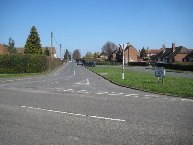
Image: © Nigel Cox Taken: 19 Mar 2011
New Road it may well be but the 1881 Ordnance Survey map already shows it as a thoroughfare, linking the Marlow and Wycombe Roads, long before the current housing estates were built. Of these Marlow Road is in the foreground here.
Images are licensed for reuse under creativecommons.org/licenses/by-sa/2.0
Image Location
Latitude
51.652973
Longitude
-0.892136