White Oaks
Introduction
The photograph on this page of White Oaks by Simon Carey as part of the Geograph project.
The Geograph project started in 2005 with the aim of publishing, organising and preserving representative images for every square kilometre of Great Britain, Ireland and the Isle of Man.

There are currently over 7.5m images from over 14,400 individuals and you can help contribute to the project by visiting https://www.geograph.org.uk
White Oaks
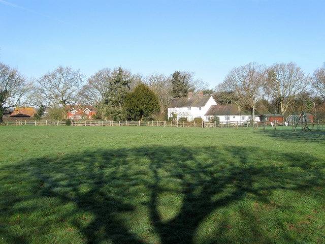
Image: © Simon Carey Taken: 19 Mar 2011
Not marked on the OS map of 1911 but is on the 1961 version so probably built during the interwar period. Part of its grounds lie within Image whilst beyond to the left are Boathouse Cottages.
Images are licensed for reuse under creativecommons.org/licenses/by-sa/2.0
Image Location


Leaflet Map data © OpenStreetMap
Latitude
50.932182
Longitude
0.065917