Horn Hill: Brawlings Lane direction post
Introduction
The photograph on this page of Horn Hill: Brawlings Lane direction post by Nigel Cox as part of the Geograph project.
The Geograph project started in 2005 with the aim of publishing, organising and preserving representative images for every square kilometre of Great Britain, Ireland and the Isle of Man.

There are currently over 7.5m images from over 14,400 individuals and you can help contribute to the project by visiting https://www.geograph.org.uk
Horn Hill: Brawlings Lane direction post
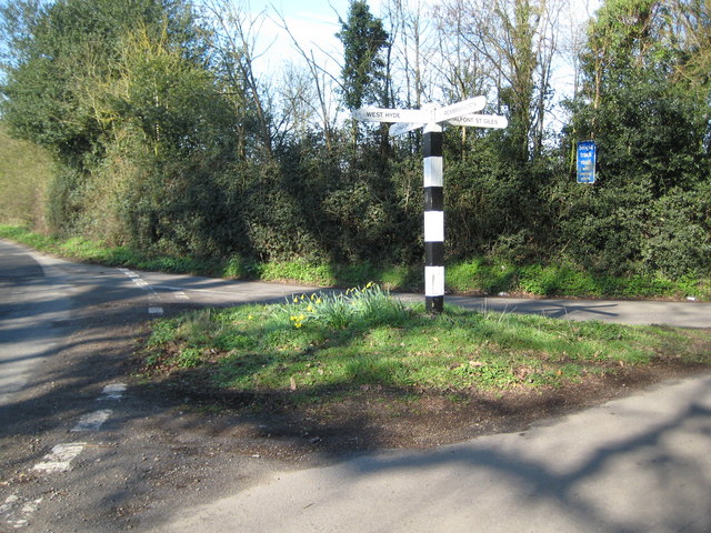
Image: © Nigel Cox Taken: 19 Mar 2011
There are a couple of these old direction posts in the immediate area. This one is on Rickmansworth Lane at its junction with Brawlings Lane, which goes off to the right. Roberts Lane makes up the remaining road at the junction. The directions, left to right, read West Hyde, Chalfont St Peter, Rickmansworth and Chalfont St Giles, although the photographer would not be too enamoured of the drive down the twisty narrow Brawlings Lane as the best route to Chalfont St Giles...!
Images are licensed for reuse under creativecommons.org/licenses/by-sa/2.0
Image Location
Latitude
51.622027
Longitude
-0.537528