Moremead Road, Bellingham
Introduction
The photograph on this page of Moremead Road, Bellingham by Malc McDonald as part of the Geograph project.
The Geograph project started in 2005 with the aim of publishing, organising and preserving representative images for every square kilometre of Great Britain, Ireland and the Isle of Man.

There are currently over 7.5m images from over 14,400 individuals and you can help contribute to the project by visiting https://www.geograph.org.uk
Moremead Road, Bellingham
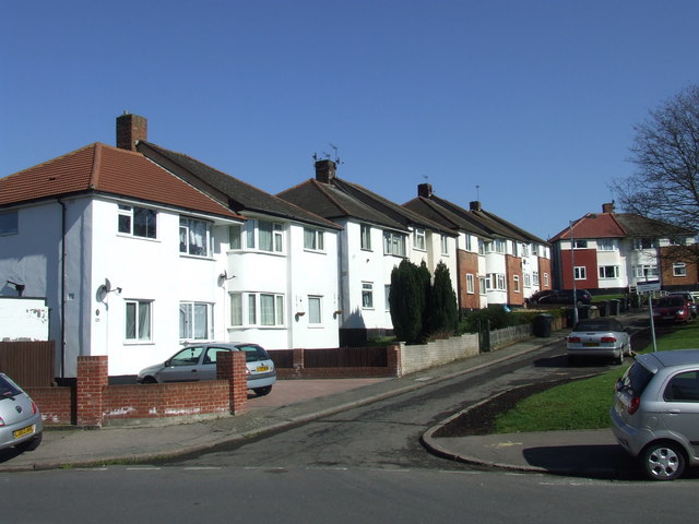
Image: © Malc McDonald Taken: 19 Mar 2011
Houses on Moremead Road, Bellingham. Bellingham Estate is a large estate of council housing, built by the London County Council in the 1920s.
Images are licensed for reuse under creativecommons.org/licenses/by-sa/2.0
Image Location
Latitude
51.428482
Longitude
-0.031319