Bridge over the Pool River near Bellingham
Introduction
The photograph on this page of Bridge over the Pool River near Bellingham by Malc McDonald as part of the Geograph project.
The Geograph project started in 2005 with the aim of publishing, organising and preserving representative images for every square kilometre of Great Britain, Ireland and the Isle of Man.

There are currently over 7.5m images from over 14,400 individuals and you can help contribute to the project by visiting https://www.geograph.org.uk
Bridge over the Pool River near Bellingham
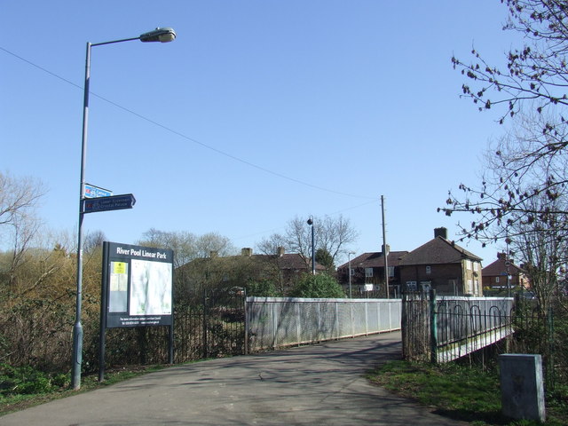
Image: © Malc McDonald Taken: 19 Mar 2011
This area along banks of the Pool River is known as a linear park because it is a narrow but long stretch of open green space. The path crosses the river several times. The number '21' on a red square on the signposts indicates that this path forms part of National Cycle Network route 21, which links Greenwich with Eastbourne passing through Greater London, Surrey, West Sussex and East Sussex.
Images are licensed for reuse under creativecommons.org/licenses/by-sa/2.0
Image Location
Latitude
51.43384
Longitude
-0.029074