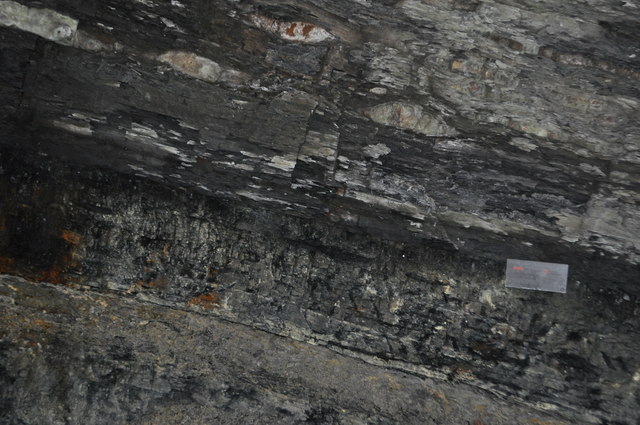
Duckmanton Railway Cutting - GSSP
Introduction
The photograph on this page of Duckmanton Railway Cutting - GSSP by Ashley Dace as part of the Geograph project.
The Geograph project started in 2005 with the aim of publishing, organising and preserving representative images for every square kilometre of Great Britain, Ireland and the Isle of Man.
There are currently over 7.5m images from over 14,400 individuals and you can help contribute to the project by visiting https://www.geograph.org.uk

Image: © Ashley Dace Taken: 19 Mar 2011
A view of the global stratigraphic section and point for the Duckmantian and Langsettian sub ages. The boundary between the two is 311ma, in the early Carboniferous. The boundary is between the chavery coal seam and the marine band above it, marked by the grain size card.

