Southern edge of Ifor Hael Road, Rogerstone
Introduction
The photograph on this page of Southern edge of Ifor Hael Road, Rogerstone by Jaggery as part of the Geograph project.
The Geograph project started in 2005 with the aim of publishing, organising and preserving representative images for every square kilometre of Great Britain, Ireland and the Isle of Man.

There are currently over 7.5m images from over 14,400 individuals and you can help contribute to the project by visiting https://www.geograph.org.uk
Southern edge of Ifor Hael Road, Rogerstone
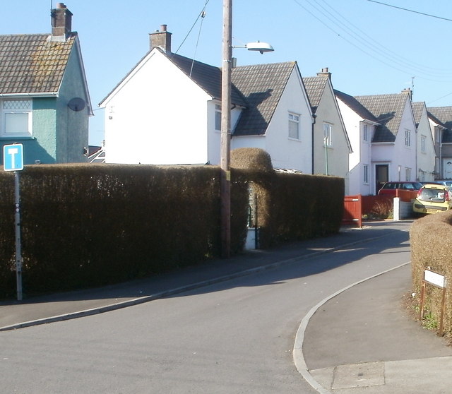
Image: © Jaggery Taken: 4 Mar 2011
Viewed from The Uplands. Ifor Hael Road is a cul-de-sac of 20 houses. Ifor Hael (Ivor the Generous) was the name given by the 14th century Welsh poet Dafydd ap Gwilym to his chief patron, Ifor ap Llywelyn, a resident of nearby Bassaleg.
Images are licensed for reuse under creativecommons.org/licenses/by-sa/2.0
Image Location
Latitude
51.592374
Longitude
-3.058077