Eastern arm of The Uplands, Rogerstone
Introduction
The photograph on this page of Eastern arm of The Uplands, Rogerstone by Jaggery as part of the Geograph project.
The Geograph project started in 2005 with the aim of publishing, organising and preserving representative images for every square kilometre of Great Britain, Ireland and the Isle of Man.

There are currently over 7.5m images from over 14,400 individuals and you can help contribute to the project by visiting https://www.geograph.org.uk
Eastern arm of The Uplands, Rogerstone
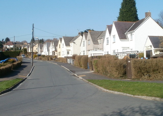
Image: © Jaggery Taken: 4 Mar 2011
Confusingly for visitors, the residential road named The Uplands is really three roads. There is the southern section, running W-E between St Johns Crescent and Bethesda Place. From this section, two arms of The Uplands, about 100 metres apart, run roughly S-N to Cefn Road (B4591). This view is of houses on the eastern side of the eastern arm, viewed from near the corner of Bethesda Place, looking in the direction of Cefn Road. Some maps incorrectly show this as Wern Terrace, which is actually to the SW.
Images are licensed for reuse under creativecommons.org/licenses/by-sa/2.0
Image Location
Latitude
51.592387
Longitude
-3.056634