Bradwell Road
Introduction
The photograph on this page of Bradwell Road by Derek Harper as part of the Geograph project.
The Geograph project started in 2005 with the aim of publishing, organising and preserving representative images for every square kilometre of Great Britain, Ireland and the Isle of Man.

There are currently over 7.5m images from over 14,400 individuals and you can help contribute to the project by visiting https://www.geograph.org.uk
Bradwell Road
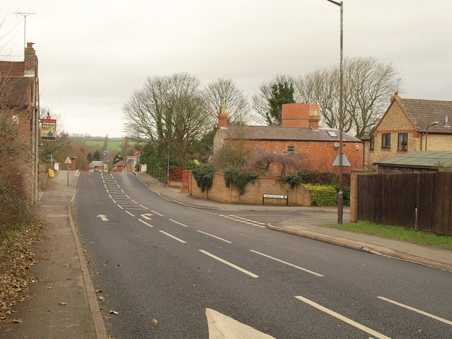
Image: © Derek Harper Taken: 4 Feb 2011
On the left can be seen the inn sign for The New Inn http://www.britishlistedbuildings.co.uk/en-45482-the-new-inn-new-bradwell . On the other side of the road is Chipperfield Close. Just after these the road crosses the disused railway shown in Image
Images are licensed for reuse under creativecommons.org/licenses/by-sa/2.0
Image Location
Latitude
52.063751
Longitude
-0.788059