Cumbernauld, Walton Burn
Introduction
The photograph on this page of Cumbernauld, Walton Burn by Robert Murray as part of the Geograph project.
The Geograph project started in 2005 with the aim of publishing, organising and preserving representative images for every square kilometre of Great Britain, Ireland and the Isle of Man.

There are currently over 7.5m images from over 14,400 individuals and you can help contribute to the project by visiting https://www.geograph.org.uk
Cumbernauld, Walton Burn
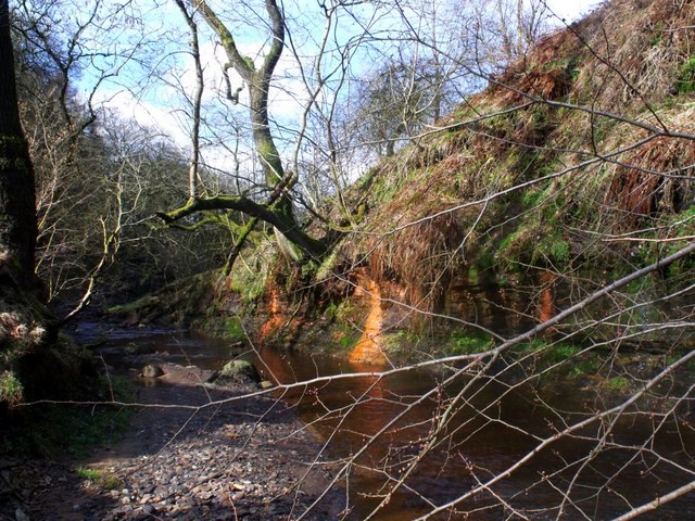
Image: © Robert Murray Taken: 18 Mar 2011
Flowing through a gully next to Abronhill's ring road a fairly wide burn. Note the ochre seeping from the sandstone.
Images are licensed for reuse under creativecommons.org/licenses/by-sa/2.0
Image Location
Latitude
55.967981
Longitude
-3.941761