Boundary walls of Silverton Park
Introduction
The photograph on this page of Boundary walls of Silverton Park by David Smith as part of the Geograph project.
The Geograph project started in 2005 with the aim of publishing, organising and preserving representative images for every square kilometre of Great Britain, Ireland and the Isle of Man.

There are currently over 7.5m images from over 14,400 individuals and you can help contribute to the project by visiting https://www.geograph.org.uk
Boundary walls of Silverton Park
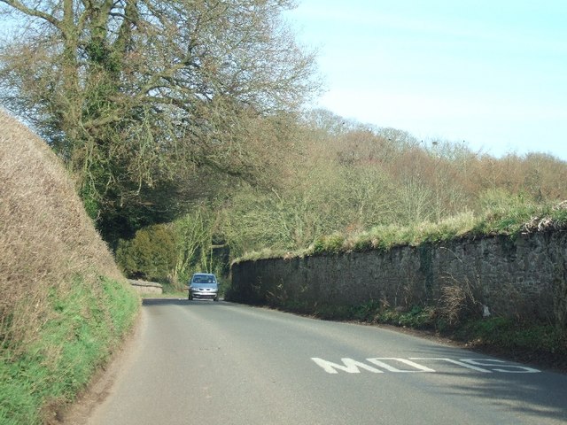
Image: © David Smith Taken: 19 Mar 2011
Silverton Park (http://en.wikipedia.org/wiki/Silverton_Park) was demolished in the 1890s. These estate walls and the stable survive
Images are licensed for reuse under creativecommons.org/licenses/by-sa/2.0
Image Location
Latitude
50.814384
Longitude
-3.463829