Path, Bradville
Introduction
The photograph on this page of Path, Bradville by Derek Harper as part of the Geograph project.
The Geograph project started in 2005 with the aim of publishing, organising and preserving representative images for every square kilometre of Great Britain, Ireland and the Isle of Man.

There are currently over 7.5m images from over 14,400 individuals and you can help contribute to the project by visiting https://www.geograph.org.uk
Path, Bradville
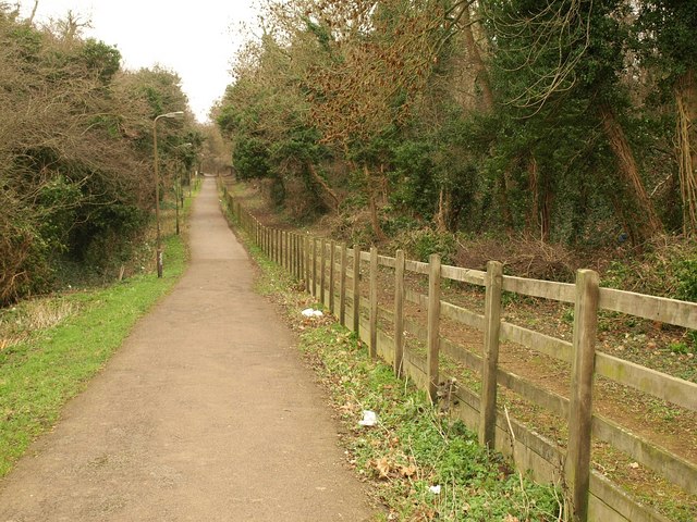
Image: © Derek Harper Taken: 4 Feb 2011
The straight path, leading ENE from the right-hand bridge shown in Image, runs close to Bradwell Windmill (see http://www.geograph.org.uk/search.php?i=20013616 ) above to the right, but a clear view of the windmill is not possible.
Images are licensed for reuse under creativecommons.org/licenses/by-sa/2.0
Image Location
Latitude
52.06224
Longitude
-0.78985