A472 heads east from Nelson
Introduction
The photograph on this page of A472 heads east from Nelson by Jaggery as part of the Geograph project.
The Geograph project started in 2005 with the aim of publishing, organising and preserving representative images for every square kilometre of Great Britain, Ireland and the Isle of Man.

There are currently over 7.5m images from over 14,400 individuals and you can help contribute to the project by visiting https://www.geograph.org.uk
A472 heads east from Nelson
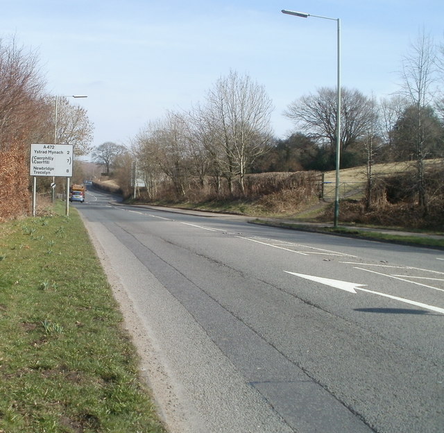
Image: © Jaggery Taken: 17 Mar 2011
Viewed from a roundabout at the SE edge of the village of Nelson. The sign shows (in miles) Ystrad Mynach 2 (Caerphilly 7) Newbridge 8.
Images are licensed for reuse under creativecommons.org/licenses/by-sa/2.0
Image Location
Latitude
51.650449
Longitude
-3.276246