Road from Nelson approaches Tredomen
Introduction
The photograph on this page of Road from Nelson approaches Tredomen by Jaggery as part of the Geograph project.
The Geograph project started in 2005 with the aim of publishing, organising and preserving representative images for every square kilometre of Great Britain, Ireland and the Isle of Man.

There are currently over 7.5m images from over 14,400 individuals and you can help contribute to the project by visiting https://www.geograph.org.uk
Road from Nelson approaches Tredomen
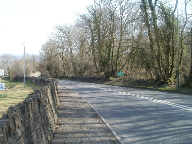
Image: © Jaggery Taken: 17 Mar 2011
The A472 from Nelson descends towards the white-on-green Tredomen boundary sign on the right side of the road. The wall is the perimeter of the Caerphilly County Borough Council headquarters site http://www.geograph.org.uk/photo/2313317 http://www.geograph.org.uk/photo/2065000 in Tredomen Park.
Images are licensed for reuse under creativecommons.org/licenses/by-sa/2.0
Image Location
Latitude
51.642639
Longitude
-3.250013