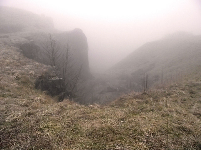
Where's the caravan site?
Introduction
The photograph on this page of Where's the caravan site? by Jonathan Kington as part of the Geograph project.
The Geograph project started in 2005 with the aim of publishing, organising and preserving representative images for every square kilometre of Great Britain, Ireland and the Isle of Man.
There are currently over 7.5m images from over 14,400 individuals and you can help contribute to the project by visiting https://www.geograph.org.uk

Image: © Jonathan Kington Taken: 16 Mar 2011
Somewhere down there, through the fog, is a caravan site situated on the floor of Grin Low Quarry. See Image by Jo Turner for a view taken on a clear day. Grin Low quarry was originally used for extracting lime and limestone; this went on until the 1950's when production was halted. An attempt to reopen it for roadstone in the 1967 was short-lived after being thwarted by public protests and closed again in 1972. In the late 1970s Derbyshire County Council, together with Buxton and District Civic Society started on an extensive reclamation project, which has transformed the site into an attractive country park. The floor of the quarry now houses the car park and a large caravan site.

