Bonnywood Farm, Willisham Road, Barking Tye in 1966
Introduction
The photograph on this page of Bonnywood Farm, Willisham Road, Barking Tye in 1966 by John Baker as part of the Geograph project.
The Geograph project started in 2005 with the aim of publishing, organising and preserving representative images for every square kilometre of Great Britain, Ireland and the Isle of Man.

There are currently over 7.5m images from over 14,400 individuals and you can help contribute to the project by visiting https://www.geograph.org.uk
Bonnywood Farm, Willisham Road, Barking Tye in 1966
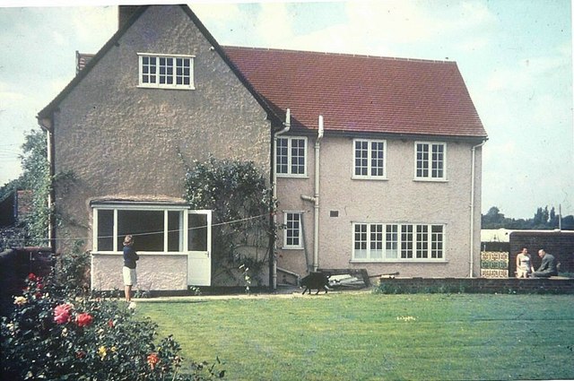
Image: © John Baker Taken: 3 Sep 1966
Although one might assume, from its exterior appearance, that the house is detached, in fact it was, in essence, semi-detached as it had been divided to accommodate two families
Images are licensed for reuse under creativecommons.org/licenses/by-sa/2.0
Image Location
Latitude
52.126433
Longitude
1.016208