Buildings on Leys Road, Loughton
Introduction
The photograph on this page of Buildings on Leys Road, Loughton by Derek Harper as part of the Geograph project.
The Geograph project started in 2005 with the aim of publishing, organising and preserving representative images for every square kilometre of Great Britain, Ireland and the Isle of Man.

There are currently over 7.5m images from over 14,400 individuals and you can help contribute to the project by visiting https://www.geograph.org.uk
Buildings on Leys Road, Loughton
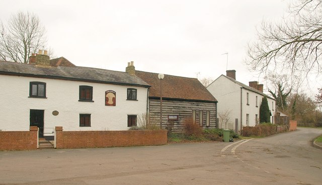
Image: © Derek Harper Taken: 4 Feb 2011
On the left is the former Wheatsheaf pub; on the right is the listed Salisbury House http://www.britishlistedbuildings.co.uk/en-45842-salisbury-house-3-loughton . Taken from the junction with School Lane.
Images are licensed for reuse under creativecommons.org/licenses/by-sa/2.0
Image Location
Latitude
52.030674
Longitude
-0.780353