Foxdenton Lane, B6189
Introduction
The photograph on this page of Foxdenton Lane, B6189 by michael ely as part of the Geograph project.
The Geograph project started in 2005 with the aim of publishing, organising and preserving representative images for every square kilometre of Great Britain, Ireland and the Isle of Man.

There are currently over 7.5m images from over 14,400 individuals and you can help contribute to the project by visiting https://www.geograph.org.uk
Foxdenton Lane, B6189
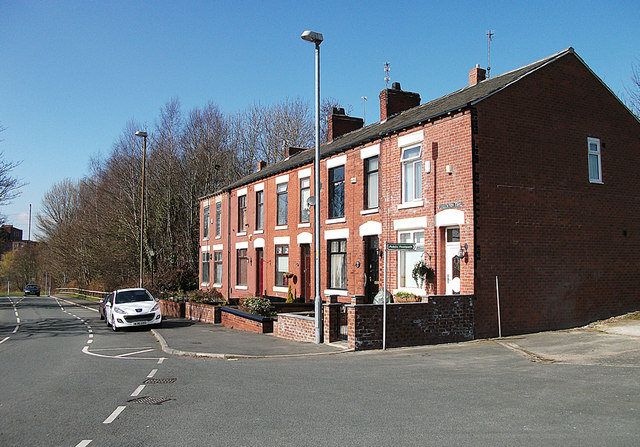
Image: © michael ely Taken: 18 Mar 2011
Looking towards Middleton. This terrace of houses is near the entrance to Ferney Field Farm.
Images are licensed for reuse under creativecommons.org/licenses/by-sa/2.0
Image Location
Latitude
53.540543
Longitude
-2.163683