Owston Ferry, Low Hall Farm
Introduction
The photograph on this page of Owston Ferry, Low Hall Farm by Alan Murray-Rust as part of the Geograph project.
The Geograph project started in 2005 with the aim of publishing, organising and preserving representative images for every square kilometre of Great Britain, Ireland and the Isle of Man.

There are currently over 7.5m images from over 14,400 individuals and you can help contribute to the project by visiting https://www.geograph.org.uk
Owston Ferry, Low Hall Farm
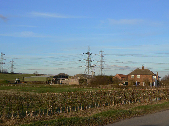
Image: © Alan Murray-Rust Taken: 13 Mar 2011
There is no apparent evidence for there having been a High Hall. The name probably simply refers to it being at the bottom of the slope visible behind.
Images are licensed for reuse under creativecommons.org/licenses/by-sa/2.0
Image Location
Latitude
53.493487
Longitude
-0.801949