High Melwood Farm
Introduction
The photograph on this page of High Melwood Farm by Alan Murray-Rust as part of the Geograph project.
The Geograph project started in 2005 with the aim of publishing, organising and preserving representative images for every square kilometre of Great Britain, Ireland and the Isle of Man.

There are currently over 7.5m images from over 14,400 individuals and you can help contribute to the project by visiting https://www.geograph.org.uk
High Melwood Farm
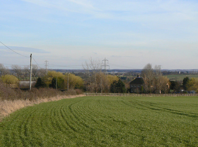
Image: © Alan Murray-Rust Taken: 13 Mar 2011
Seen from the higher ground above, and looking beyond to Owston Ferry. The farmhouse dates from probably the early 18th century with later 18/19th century additions. Listed Grade II.
Images are licensed for reuse under creativecommons.org/licenses/by-sa/2.0
Image Location
Latitude
53.51153
Longitude
-0.79948