Terraced houses, Bangor
Introduction
The photograph on this page of Terraced houses, Bangor by Rossographer as part of the Geograph project.
The Geograph project started in 2005 with the aim of publishing, organising and preserving representative images for every square kilometre of Great Britain, Ireland and the Isle of Man.

There are currently over 7.5m images from over 14,400 individuals and you can help contribute to the project by visiting https://www.geograph.org.uk
Terraced houses, Bangor
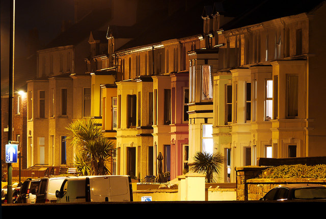
Image: © Rossographer Taken: 16 Mar 2011
A night view of a terrace on the Seacliff Road in Bangor. Known as 'Seacliff Terrace' and running from numbers 122-144 on the road, the houses were developed c1895. Although they appear to be joined, the two houses on the far left are actually semi-detached, but date from the same period.
Images are licensed for reuse under creativecommons.org/licenses/by-sa/2.0
Image Location
Latitude
54.668075
Longitude
-5.660925