Medlock Valley Way, Strine Dale
Introduction
The photograph on this page of Medlock Valley Way, Strine Dale by Martin Clark as part of the Geograph project.
The Geograph project started in 2005 with the aim of publishing, organising and preserving representative images for every square kilometre of Great Britain, Ireland and the Isle of Man.

There are currently over 7.5m images from over 14,400 individuals and you can help contribute to the project by visiting https://www.geograph.org.uk
Medlock Valley Way, Strine Dale
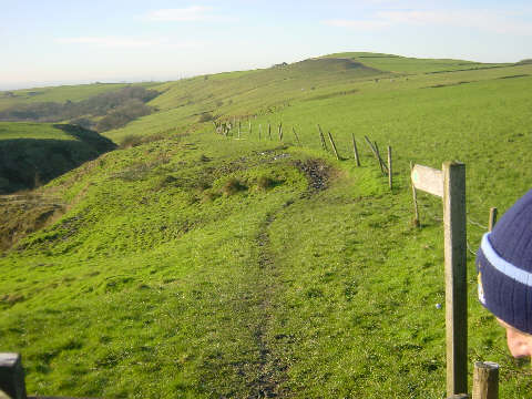
Image: © Martin Clark Taken: Unknown
Looking south-west down the Medlock Valley Way towards Strine Dale from Roebuck Lane, east of Oldham.
Images are licensed for reuse under creativecommons.org/licenses/by-sa/2.0
Image Location


Leaflet Map data © OpenStreetMap
Latitude
53.5632
Longitude
-2.060805