The Park, Treharris
Introduction
The photograph on this page of The Park, Treharris by Jaggery as part of the Geograph project.
The Geograph project started in 2005 with the aim of publishing, organising and preserving representative images for every square kilometre of Great Britain, Ireland and the Isle of Man.

There are currently over 7.5m images from over 14,400 individuals and you can help contribute to the project by visiting https://www.geograph.org.uk
The Park, Treharris
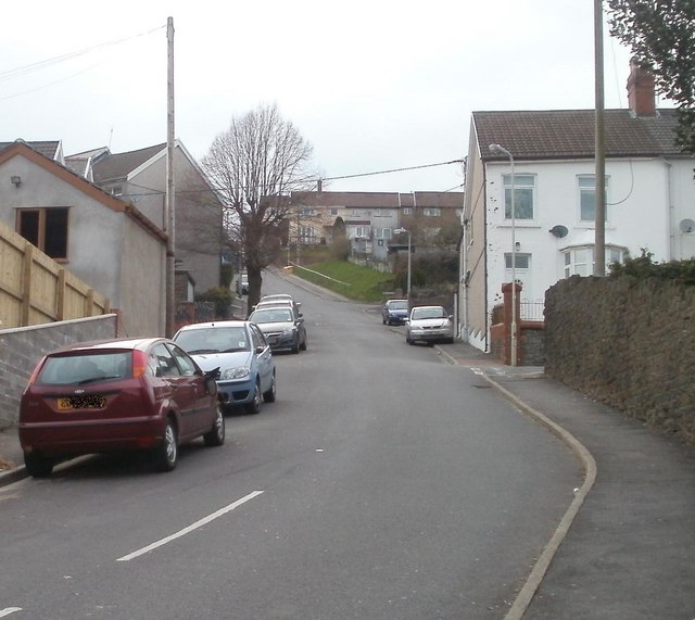
Image: © Jaggery Taken: 17 Mar 2011
The Park climbs away from Cardiff Road (B4254). The grey wall on the right is the perimeters of St Matthias church. http://www.geograph.org.uk/photo/2311630
Images are licensed for reuse under creativecommons.org/licenses/by-sa/2.0
Image Location
Latitude
51.664481
Longitude
-3.308451