School Hill, Lower Heswall
Introduction
The photograph on this page of School Hill, Lower Heswall by Tom Stapledon as part of the Geograph project.
The Geograph project started in 2005 with the aim of publishing, organising and preserving representative images for every square kilometre of Great Britain, Ireland and the Isle of Man.

There are currently over 7.5m images from over 14,400 individuals and you can help contribute to the project by visiting https://www.geograph.org.uk
School Hill, Lower Heswall
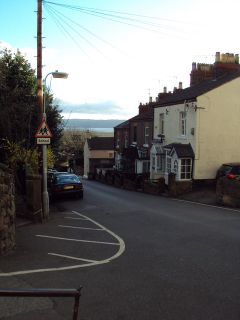
Image: © Tom Stapledon Taken: 13 Mar 2011
View looking down School Hill with the Dee estuary beyond. Taken 13/3/2011
Images are licensed for reuse under creativecommons.org/licenses/by-sa/2.0
Image Location
Latitude
53.324337
Longitude
-3.101644