The Maggies
Introduction
The photograph on this page of The Maggies by Michael Westley as part of the Geograph project.
The Geograph project started in 2005 with the aim of publishing, organising and preserving representative images for every square kilometre of Great Britain, Ireland and the Isle of Man.

There are currently over 7.5m images from over 14,400 individuals and you can help contribute to the project by visiting https://www.geograph.org.uk
The Maggies
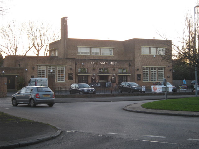
Image: © Michael Westley Taken: 7 Mar 2011
Public house on corner of Shirley Road and School Road, Hall Green - formerly known as 'The Magpies'. Circa 1935, the pub is a rectilinear building inspired by the Bauhaus School. It features a roof terrace and its own bowling green and pavilion
Images are licensed for reuse under creativecommons.org/licenses/by-sa/2.0
Image Location
Latitude
52.432075
Longitude
-1.835416