Lane junction, Headley
Introduction
The photograph on this page of Lane junction, Headley by Derek Harper as part of the Geograph project.
The Geograph project started in 2005 with the aim of publishing, organising and preserving representative images for every square kilometre of Great Britain, Ireland and the Isle of Man.

There are currently over 7.5m images from over 14,400 individuals and you can help contribute to the project by visiting https://www.geograph.org.uk
Lane junction, Headley
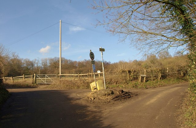
Image: © Derek Harper Taken: 3 Feb 2011
Langley Lane (byway BY545) heads left. I think this is where Tumber Street (immediate foreground) becomes Slough Lane (right). That must one of the smallest greens in Surrey, though it nevertheless hosts two notices and a salt box.
Images are licensed for reuse under creativecommons.org/licenses/by-sa/2.0
Image Location
Latitude
51.279438
Longitude
-0.280451