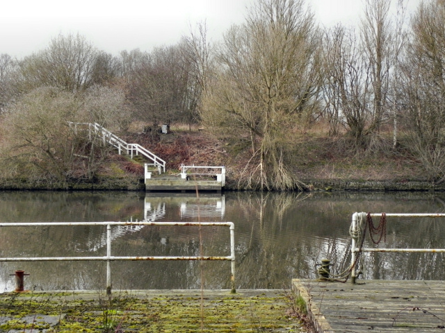
Manchester Ship Canal, Hulmes Bridge Ferry
Introduction
The photograph on this page of Manchester Ship Canal, Hulmes Bridge Ferry by David Dixon as part of the Geograph project.
The Geograph project started in 2005 with the aim of publishing, organising and preserving representative images for every square kilometre of Great Britain, Ireland and the Isle of Man.
There are currently over 7.5m images from over 14,400 individuals and you can help contribute to the project by visiting https://www.geograph.org.uk

Image: © David Dixon Taken: 14 Mar 2011
The two jetties (now securely fenced off) are the remains of a ferry which used to cross the Manchester Ship Canal at this point. The ferry replaced a bridge which crossed the River Irwell here until it was incorporated into the canal. It appears that the ferry hasn't operated since 2009. (http://www.ramblers-trafford.co.uk/endangered-footpaths/4545818727 - Ramblers Trafford Group and http://www.urmston.net/forum/forum_detail.asp?ForumTitle=Ship%20Canal%20Ferry - "Urmston net") *UPDATE* Since this photograph was taken in 2011, the ferry has been reinstated (see Image]) and was still running in 2018 http://www.hulmesferry.uk/timetable/ although its future remains unsure.

