Raines Crest
Introduction
The photograph on this page of Raines Crest by Bryan Tenny as part of the Geograph project.
The Geograph project started in 2005 with the aim of publishing, organising and preserving representative images for every square kilometre of Great Britain, Ireland and the Isle of Man.

There are currently over 7.5m images from over 14,400 individuals and you can help contribute to the project by visiting https://www.geograph.org.uk
Raines Crest
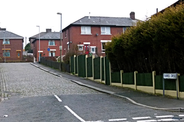
Image: © Bryan Tenny Taken: 16 Mar 2011
Part of a street named after Canon Raines in the housing estate built between the World Wars on the site of the Holt's farms.
Images are licensed for reuse under creativecommons.org/licenses/by-sa/2.0
Image Location
Latitude
53.610806
Longitude
-2.10652