Approaching Heath Farm
Introduction
The photograph on this page of Approaching Heath Farm by Derek Harper as part of the Geograph project.
The Geograph project started in 2005 with the aim of publishing, organising and preserving representative images for every square kilometre of Great Britain, Ireland and the Isle of Man.

There are currently over 7.5m images from over 14,400 individuals and you can help contribute to the project by visiting https://www.geograph.org.uk
Approaching Heath Farm
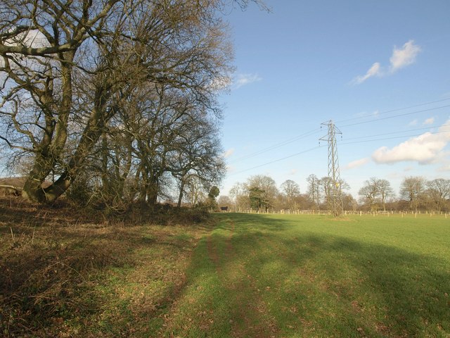
Image: © Derek Harper Taken: 3 Feb 2011
Following footpath FP499 as a line of trees along a field boundary coverges with a pylon line.
Images are licensed for reuse under creativecommons.org/licenses/by-sa/2.0
Image Location
Latitude
51.272313
Longitude
-0.266811