Public convenience, Ynysymaerdy Road, Briton Ferry
Introduction
The photograph on this page of Public convenience, Ynysymaerdy Road, Briton Ferry by Jaggery as part of the Geograph project.
The Geograph project started in 2005 with the aim of publishing, organising and preserving representative images for every square kilometre of Great Britain, Ireland and the Isle of Man.

There are currently over 7.5m images from over 14,400 individuals and you can help contribute to the project by visiting https://www.geograph.org.uk
Public convenience, Ynysymaerdy Road, Briton Ferry
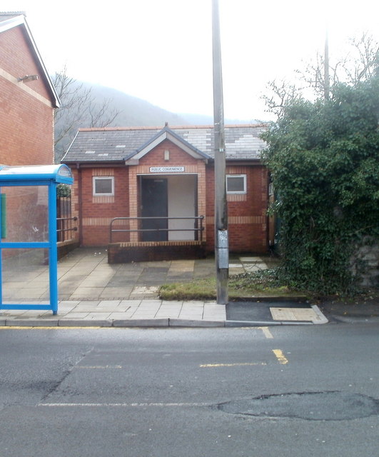
Image: © Jaggery Taken: 19 Feb 2011
Public toilets located almost opposite the Community Hall. http://www.geograph.org.uk/photo/2309975 The facility was open and in good condition at the date of this photograph.
Images are licensed for reuse under creativecommons.org/licenses/by-sa/2.0
Image Location
Latitude
51.637894
Longitude
-3.819252