Pont Aberarth
Introduction
The photograph on this page of Pont Aberarth by Alan Richards as part of the Geograph project.
The Geograph project started in 2005 with the aim of publishing, organising and preserving representative images for every square kilometre of Great Britain, Ireland and the Isle of Man.

There are currently over 7.5m images from over 14,400 individuals and you can help contribute to the project by visiting https://www.geograph.org.uk
Pont Aberarth
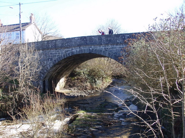
Image: © Alan Richards Taken: 13 Mar 2011
Pont Aberarth a adeiladwyd yn 1849 ar ol i'r bont flaenorol gael ei dinsitrio gan lif yn 1846. Llifa Afon Arth - un o nifer o afonydd a enwir ar ol anifeilaid yng Nghymru - i mewn i Fae Ceredigion gerllaw. Pont Aberarth was built in 1849 after the previous bridge was destroyed by a flood. 'Arth' is the Welsh name for 'bear' - one of many river names in Wales named after animals. The river flows into Cardigan Bay a short distance away.
Images are licensed for reuse under creativecommons.org/licenses/by-sa/2.0
Image Location
Latitude
52.250951
Longitude
-4.228665