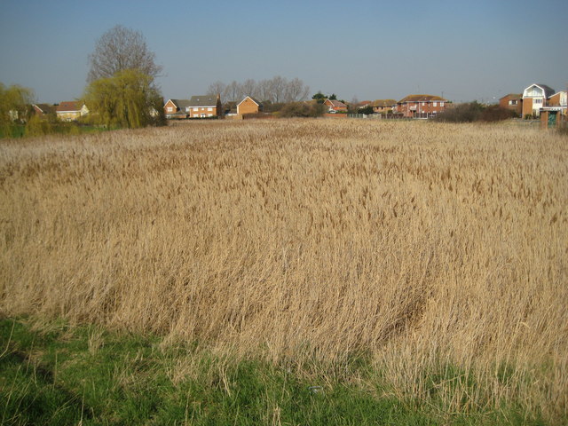
Canvey Island: Thorneycreek Fleet reedbed
Introduction
The photograph on this page of Canvey Island: Thorneycreek Fleet reedbed by Nigel Cox as part of the Geograph project.
The Geograph project started in 2005 with the aim of publishing, organising and preserving representative images for every square kilometre of Great Britain, Ireland and the Isle of Man.
There are currently over 7.5m images from over 14,400 individuals and you can help contribute to the project by visiting https://www.geograph.org.uk

Image: © Nigel Cox Taken: 8 Mar 2011
Successive editions of old large scale Ordnance Survey maps have shown a pond that has progressively decreased in size in this location. The latest satellite imagery shows that the pond has now silted up entirely, and this extensive and ecologically important reedbed has now colonized the whole site. The Thorneycreek Fleet pumping station building with its green door, from near which Image was taken, is just visible to the far right of the photograph.

